Nearest town: Rochester
Site type: footpath/road
Access: Public
Church name: No Data
Diocese: No Data
County: Kent
Country: England
Grid ref: TQ72576277
Lost yew site: No
Date visited: 16-Oct-15
Recorded by: Ian Robert Brown
Protection & responsibility: Landowner
Yews recorded at this site: Notable
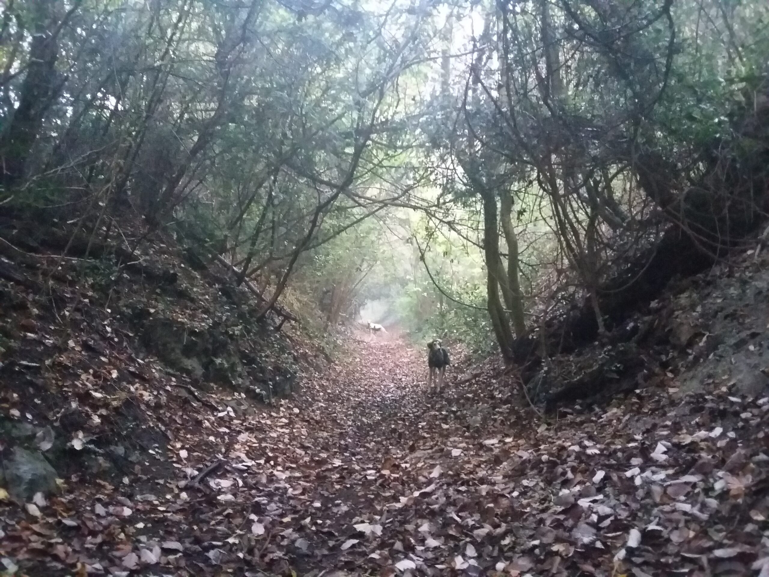
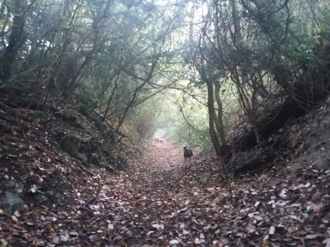
Notes: An old sunken path with a section lined with yews. The path starts from just behind the fence next to the final house (number 473) on the Rochester Road as you leave Burham heading in a northerly direction. From here the path of about a mile in length leads up to the North Downs. The yews are at their thickest around the grid reference but there are more specimens to be seen if you continue along the path. There seems to be evidence of some earth workings and possible flint mines further along the path. It has been suggested that this is one of the Pilgrims Way routes.
| Tree ID | Location | Photo | Yews recorded | Girth |
|---|---|---|---|---|
| 4758 | Burham | 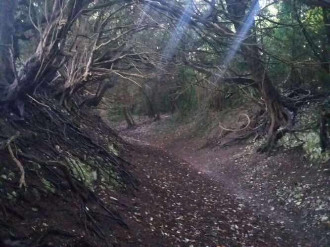 |
Notable | No data available - view more info |