
Nearest town: Stourbridge
Site type: footpath/road
Access: Public
Church name:
Diocese:
County: Staffordshire
Country: England
Grid ref: SO8513189069
Lost yew site: No
Date visited: 2023
Recorded by: Michael Glasson - Ancient Tree Inventory
Protection & responsibility: Landowner
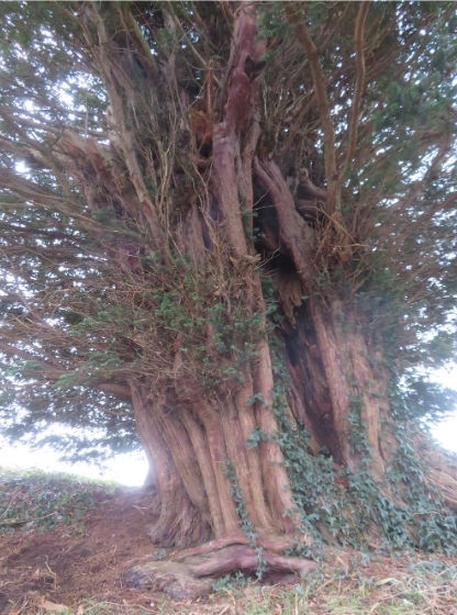
Yews recorded at this site: Ancient 5m-7m
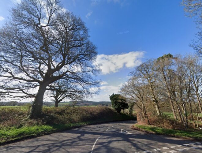
Notes: Tim Hills - 2003: This tree was passed on several occasions when being introduced to yew sites by Robert Bevan-Jones. On the O/S map the tree is on the east side of Chasepool Road, where it crosses Camp Hill Road. On Google Earth the road is called Common Road.

| Tree ID | Location | Photo | Yews recorded | Girth |
|---|---|---|---|---|
| 6926 | Swindon - Staffordshire |  |
Ancient 5m-7m | 502cm at 20cm - view more info |