Nearest town: Wallingford
Site type: woodland
Access: Public
Church name: No Data
Diocese: No Data
County: Oxfordshire
Country: England
Grid ref: not known
Lost yew site: No
Date visited: 3-Apr-14
Recorded by: Peter Norton
Protection & responsibility: No data
Yews recorded at this site: Ancient 4m-5m, Notable
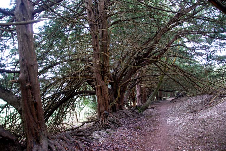
Notes: National Trust parking is available at the top of Hill road at SU70959358. Head southwest following the field edge where the line of young yews seen in the photos lead you approximately half a mile downhill. Watlington Hill, part of the Chiltern Escarpment, is 112 acres in extent and reaches 235 metres at its highest point. The peak of the hill consists of clay-with-flints supporting clay soils. Lower down the hill the shallow soil is calcareous. It forms part of the Watlington and Pyrton Hill Site of Special Scientific Interest (SSSI) and is managed by the National Trust. Watlington Hill provides a diverse mix of habitats, including rich chalk downland, chalk scrub, broadleaved and yew woodland on the south facing slope which covers around a quarter of the site.

| Tree ID | Location | Photo | Yews recorded | Girth |
|---|---|---|---|---|
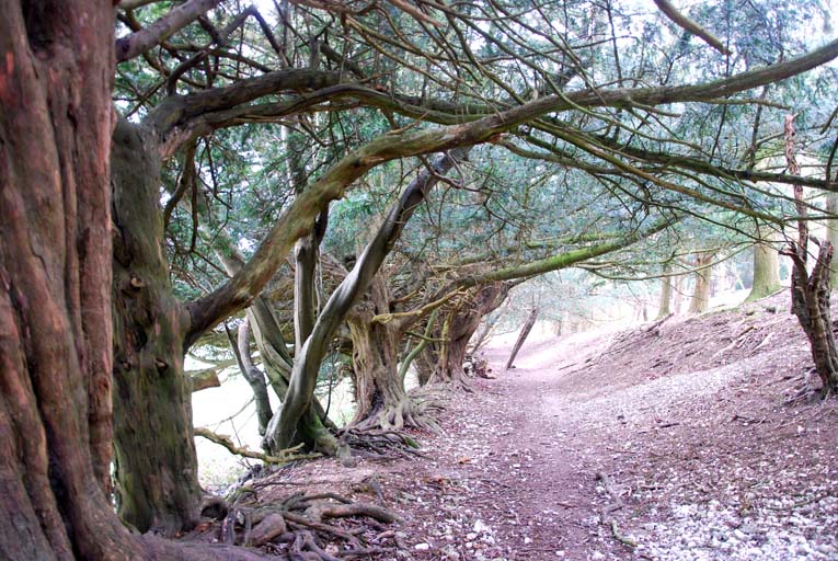
| 2237 | Watlington Hill | 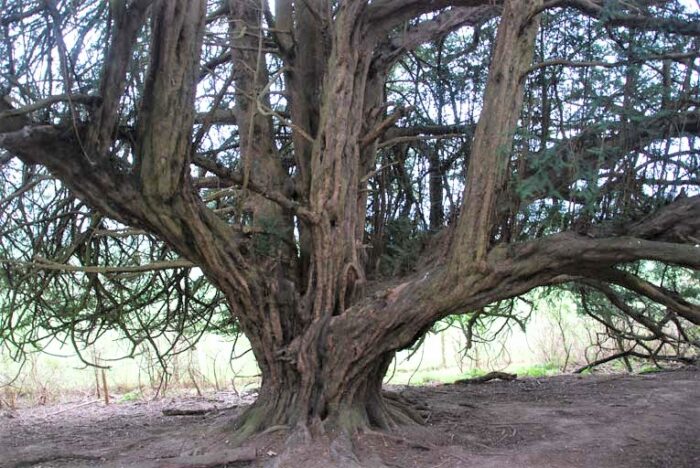 |
Ancient 4m-5m | 414cm - view more info |
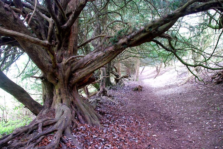
| 4300 | Watlington Hill | 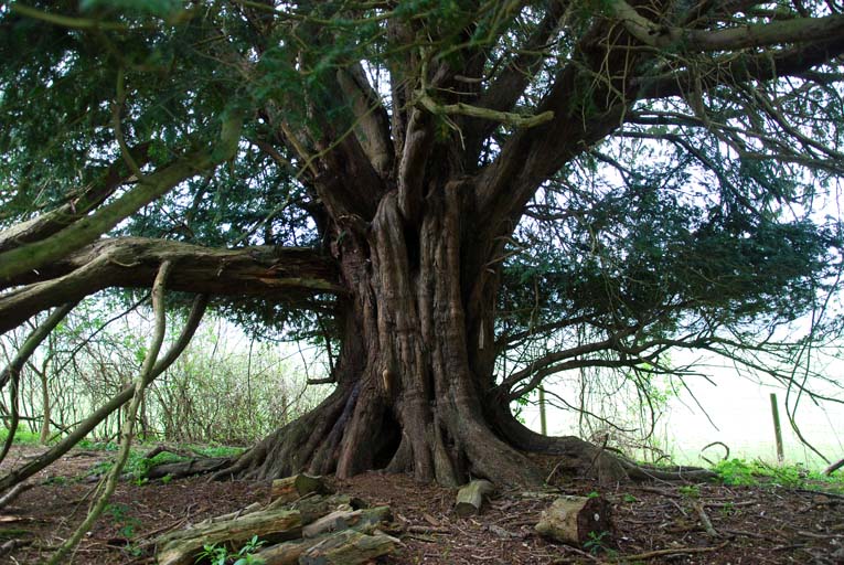 |
Ancient 4m-5m | 409cm - view more info |
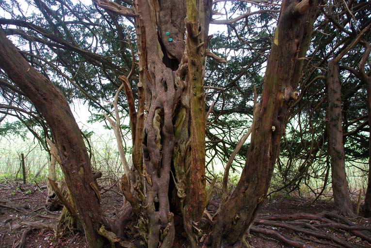
| 4301 | Watlington Hill | 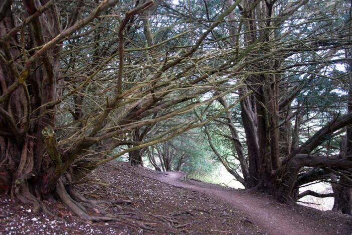 |
Notable | No data available - view more info |